.png)

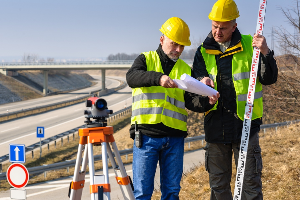
We can understand that surveying is the basis of any successful construction project at our company. We are providing all sorts of surveys that will offer accurate measurements and precise project planning.
Our focus at the company is the measurement and mapping of land boundaries, as well as property lines and topographic features, accurately. One of the major types of land surveying we can offer you includes:
Boundary Survey: A boundary survey should be used to define the precise limits of any piece of land, one of which is fundamental for ownership of the property, development, and resolving disputes.
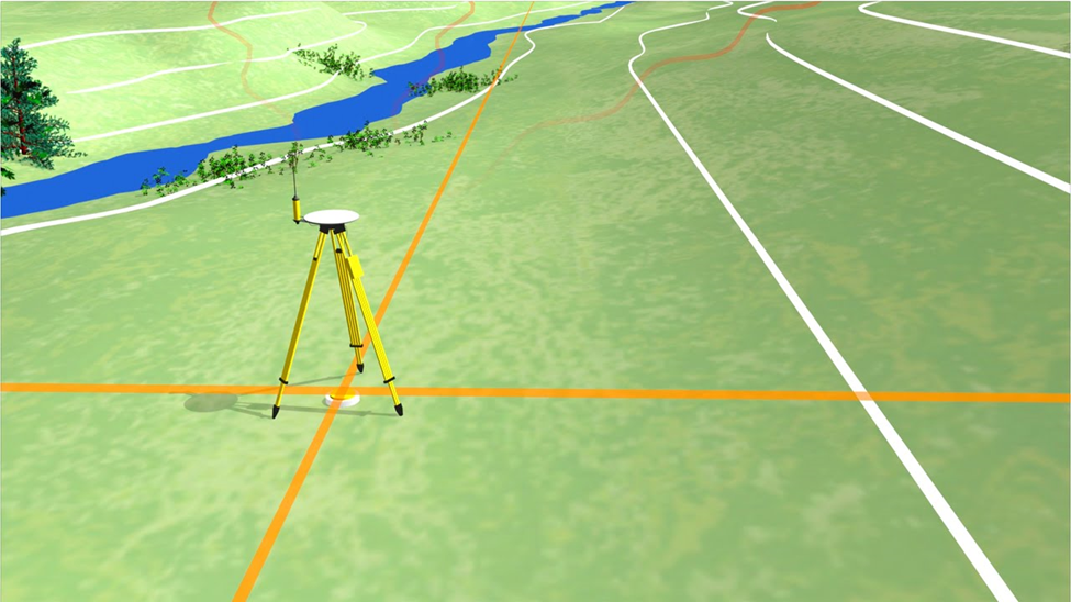
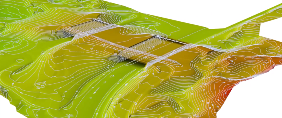
Topographic Surveying Services at SDVVL: Our best topographic survey is providing a detailed map of the ground surface including contours, elevations, and natural or man-made features. Thus, this type of surveying is much important for a variety of purposes such as land development, construction, and the environment.
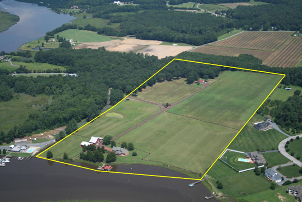
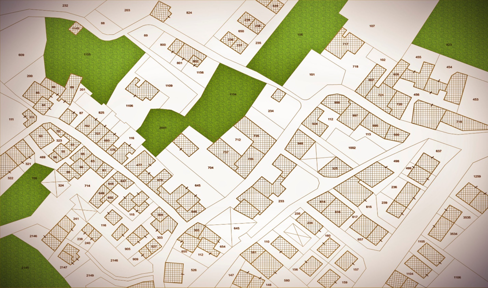
Subdivision Survey Services: Our subdivision survey is designed to divide large parcels of land into smaller lots, and this will be important for development or sale. It therefore remains that this type of survey plays a key role in urban planning, residential development, and real estate transactions.
Engineering Surveying Services at SDVVL: Our engineering surveying services will have a very important role to play as they support construction and engineering projects by providing the correct measurements for the design and layout of the project. This will assure that projects are built correctly as required.
Our engineering surveys should be fundamental towards infrastructure projects such as roads, bridges, buildings, and utilities. We are to ensure accurate data for design and construction, following that structures are put in the right location and constructed at the proper elevations.

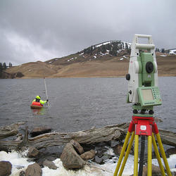
Our hydrographic surveying would trace all the bodies of water and measure them. These include:
Mining Surveying Services at SDVVL: Our mining surveying services are focused on the layout and planning of mining operations. These include:
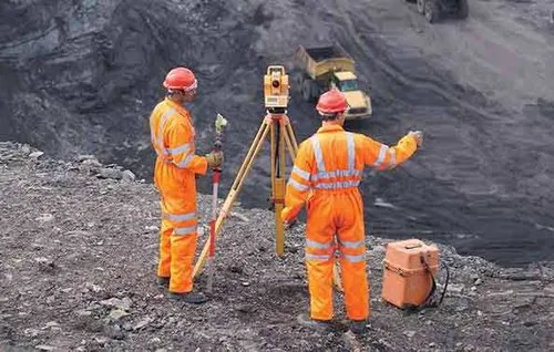
Our mining surveying services are focused on the layout and planning of mining operations. These include:

Our photogrammetry services can be used on photographs, often taken from the air, to compile detailed data about the Earth's surface. This helps in: